The meeting point is only part of the achievement
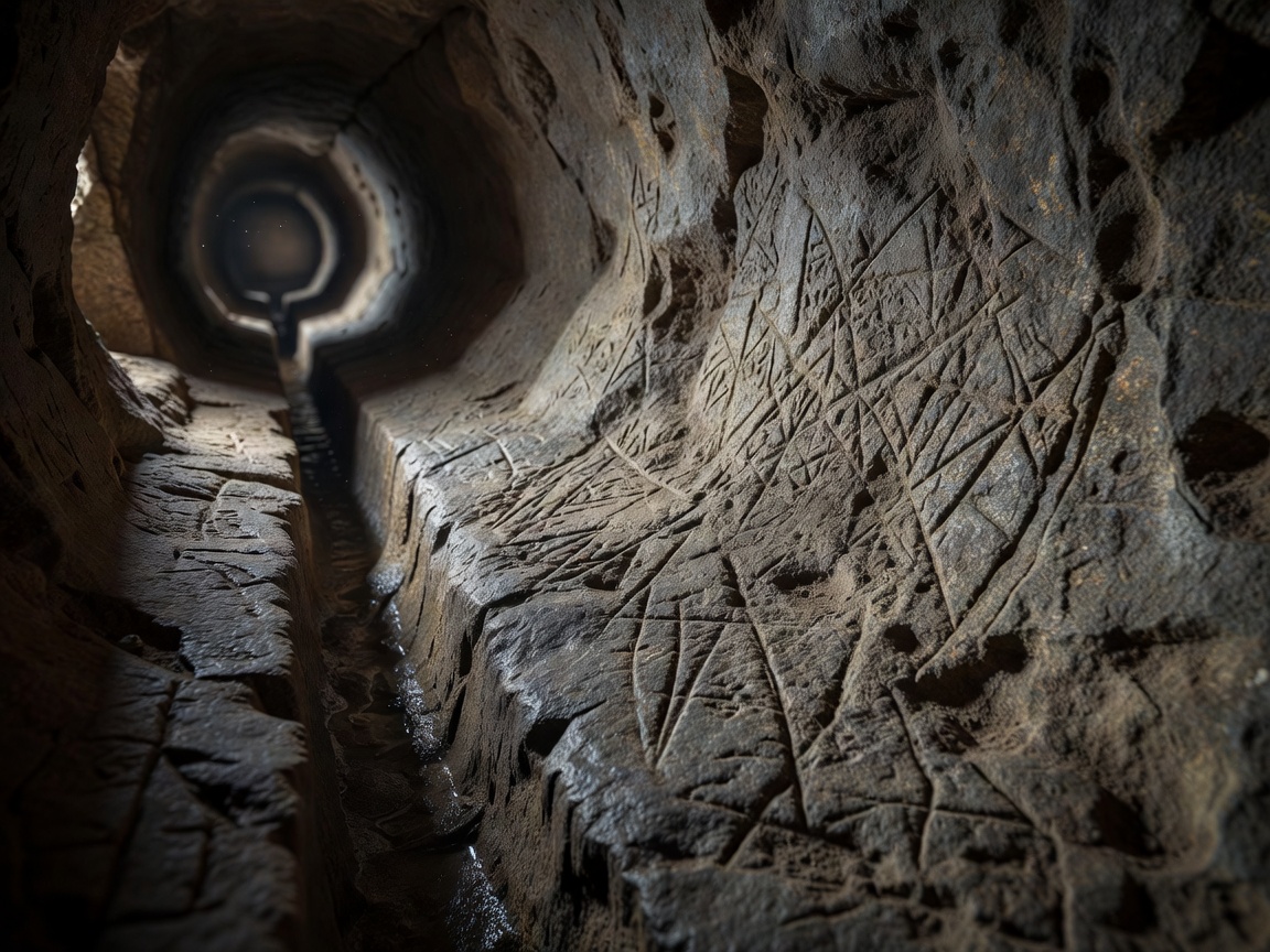
The Tunnel of Eupalinos on Samos is commonly dated to the sixth century BCE. Associated with the water supply of ancient Samos, it is celebrated for excavation from opposing ends. That achievement involved more than making two headings meet. Surveyors and workers had to organise direction, elevation, rock removal and the practical needs of a water route through a mountain.
The main tunnel and the water-carrying arrangement should not be collapsed into a single feature. A lower channel within the works accommodated the aqueduct’s hydraulic requirements, while the larger passage supported construction and access. This distinction helps explain why a tunnel that appears broadly level can still form part of a gravity-fed supply. The exact sequence of excavation and adjustment requires a measured plan, not just a view along the passage.
Ancient surveying was neither guesswork nor modern instrumentation in disguise. Workers used the mathematical and practical resources available to them, checking lines and levels through repeated operations. Changes in alignment can reflect deliberate corrections, local geology or construction decisions. The fascination lies in reconstructing those choices from surviving evidence rather than presenting the project as an inexplicable exception to ancient technical knowledge.
Water follows levels, not convenient stories
Jerusalem’s Siloam Tunnel, often called Hezekiah’s Tunnel, offers a different record of an underground water route. It connects the Gihon Spring area with the Siloam area through a winding rock-cut passage. Its historical association with the late eighth century BCE is central to its interpretation, while questions about excavation, route choice and chronology deserve careful reference to archaeological scholarship. The Siloam inscription is an important piece of evidence, not a complete construction diary.
A winding route does not necessarily indicate poor engineering. Excavators may have responded to rock conditions, existing fissures, available access or an evolving plan. Equally, it is unwise to claim that one of those explanations has been demonstrated everywhere along the route. Water tunnels combine visible fabric with concealed geological relationships. A confident account should identify what was measured and where an explanation remains a hypothesis.
The Persian qanat tradition expands the subject from a single celebrated tunnel to a maintained landscape system. A gently sloping gallery intercepts groundwater and conveys it toward a lower outlet. A line of vertical shafts provides access for excavation, removal of spoil and maintenance. Seen from above, the shafts can reveal the route; below ground, the decisive relationship is between the source, the gallery’s gradient and the land it supplies.
Qanats also make the social infrastructure visible. Water allocation, repair responsibilities and the labour of skilled workers are as important as the excavated section. A gallery can cease to function if maintenance fails, if it becomes obstructed or if groundwater conditions change. Calling the system sustainable without examining extraction, local recharge and contemporary pressures would turn a useful historical example into an unsupported environmental guarantee.
What changes when the ground cannot stand alone?
Many rock-cut passages depend partly on the surrounding material remaining stable after excavation. Softer or water-bearing ground poses different problems. The Thames Tunnel, built under the river between Rotherhithe and Wapping, provides a later comparison rather than an ancient example. Marc Isambard Brunel’s tunnelling shield supported work at the face while a permanent structure was built behind it. The project experienced serious flooding and difficult working conditions.
Opened to pedestrians in 1843 and later adapted for railway use, the Thames Tunnel shows why a construction innovation should not be confused with an effortless success. Temporary support, permanent lining, finance, worker safety and the eventual use of the route all belong to the account. It also links historical tunnel-making to the changing transport systems described in the transit register.
Chronology note: excavation, completion or opening?
A project may have several meaningful dates. Construction can begin long before a route opens, and later conversion can introduce a new public function. Name the event attached to a date instead of presenting one year as the whole history.
Check the record
Consult UNESCO’s Pythagoreion and Heraion of Samos record for the setting of Eupalinos, and The Persian Qanat listing for the selected Iranian systems. The Brunel Museum provides historical context for the Thames Tunnel. For the Jerusalem comparison, the Israel Museum and archaeological publications provide starting points for investigating inscriptions and dating rather than relying on unsourced travel summaries.