Start with the rooms, not the legend
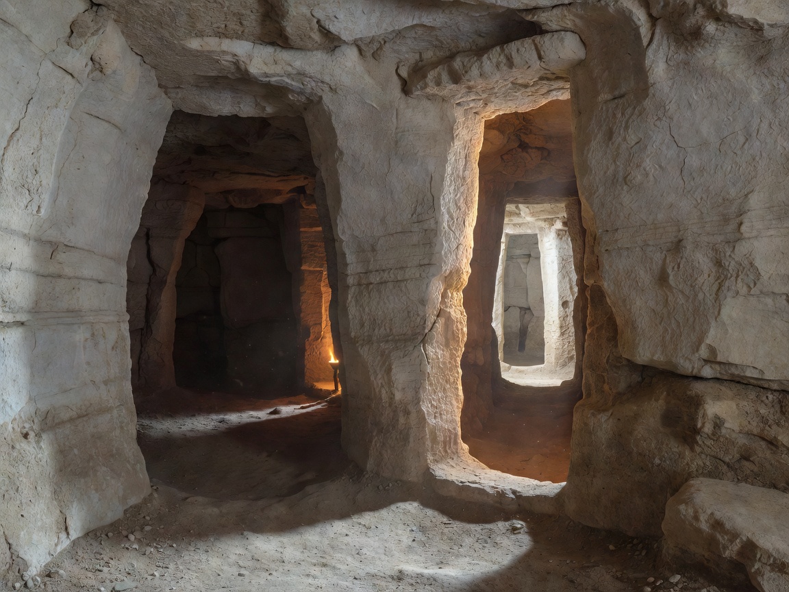
Derinkuyu, in Türkiye’s Cappadocia region, is a useful starting point because its stacked chambers make underground organisation unusually legible. The region’s volcanic deposits allowed people to cut rooms directly into the ground. The resulting spaces include passages, storage areas and rooms interpreted as communal or religious facilities. Their connections matter as much as their size: a settlement must move people, supplies and air through a limited number of openings.
The familiar phrase “underground city” can imply a single project conceived and completed at one moment. That is rarely a safe assumption. Cappadocian complexes were altered and reused over long periods, and individual chambers are difficult to date simply from their shape. Distinguish the geological age of the rock, the earliest proposed excavation, later documented use and the modern opening of a visitor route. These are different dates answering different questions.
A refuge still needs a supply system
Ventilation shafts help connect internal spaces with the surface, but airflow depends on more than the presence of a hole. Shaft geometry, differences in temperature, the position of entrances and the connections between rooms all affect circulation. A shaft may also have supported excavation or water-related work. Describing every vertical opening as a purpose-built air system risks replacing observation with a convenient story.
Water and food place practical limits on any long stay. Storage rooms suggest provision for supplies, while wells and other water arrangements must be understood in relation to local geology and the layout of the complex. A defensible entrance could restrict movement without making a refuge self-sufficient. People still needed fuel, sanitation, maintenance and ways to manage animals or waste. A protected interior did not remove dependence on the surrounding landscape.
Large rolling stone closures, associated with several Cappadocian underground sites, show how passages could be controlled from within. Their presence supports an interpretation involving restricted access and defence. It does not, by itself, establish the identity of an attacker, the frequency of occupation or the number of people inside. Precise population figures often depend on assumptions about crowding, available water and duration. Treat impressive totals as estimates unless the method is explained.
Three places, three different questions
Naours, in northern France, offers a useful comparison. Its chalk galleries and chambers are associated with refuge and storage, while later visitors left another kind of record. First World War soldiers’ inscriptions document visits rather than proving that the whole network functioned as a wartime barracks. The distinction is important: a site can acquire a powerful military association without every period of its history serving the same military purpose.
Coober Pedy, in South Australia, changes the comparison again. Its dugout homes belong to a modern mining town in a hot, arid environment. Excavated dwellings take advantage of the ground’s thermal buffering, reducing exposure to rapid outdoor temperature changes. They are not evidence of an ancient defensive tradition. Ventilation, services, safe excavation and the relationship between old workings and habitation remain engineering questions even when the rooms look comfortably domestic.
Comparing these places is most productive when the categories stay modest. Ask whether the space sheltered people continuously or occasionally; whether it was excavated into a slope or reached by descending shafts; and how it connected with work above ground. A refuge, a storage network and a modern dwelling can share the technique of excavation while answering very different social and environmental needs.
Read occupation as a sequence
A worn threshold may record repeated passage, but it does not provide a calendar. A soot-darkened surface may suggest combustion, yet its date and source need investigation. Modern lighting, barriers and reinforced steps are often necessary for public access, but they can make a complicated sequence appear like a finished, unified design. Keep historic fabric, conservation work and visitor infrastructure distinct when reading photographs or walking through a managed route.
Chronology note: why no single founding date?
Excavated spaces can be extended without a clear construction joint. Dating relies on archaeological context, inscriptions, associated objects and documentary evidence. A regional heritage date should not be assigned automatically to every room.
Check the record
The UNESCO record for Göreme National Park and the Rock Sites of Cappadocia provides regional heritage context. For other comparisons, consult the Naours site operator and the Coober Pedy visitor information service. Operator information is useful for present-day access; it should not be mistaken for a complete archaeological publication.